Sunday, January 31, 2016

El Calderon, Extended Version

A 3.8 mile interpretive loop in El Malpais National Mounument, NM, but I manage to extended the trip to seven hours by hiking old roads and making a loop with the CDT. 
Just 115,000 years ago this was a river of molten lava that cooled and collapsed.
Short trails introduce areas that invite further exploration.  I used to skip over short trails in favor of places with more designated miles.  But I’d miss out on some gems.

While hiking short nature loops, be on the lookout for side trails and old roads.  Old maps sometimes show old ranching or logging routes that are no longer maintained but can be followed (if you have enough imagination).  I used this technique to transform a short morning stroll into an all-day hike.

The El Calderon Loop Trail goes past three caves (ie. lava tubes), lava trenches, and up to the El Calderon Cinder Cone.  Learning about the geology and natural history from the trail guide and interpretive signs opened my eyes to geological processes that shaped this landscape. 
From on top of El Calderon, the Cerritos de Jaspe can be seen to the south.
I’ve been to the trailhead once before when I was section hiking the CDT, which shares 1 mile of trail with the interpretive loop, but doesn’t go past dramatic geological features.
Soft loose cinders on the rim of El Calderon.  From here, you can see where rivers of lava flowed.

Ponderosa pines thrive in the volcanic soils around El Calderon.
It’s only 9 AM by the time I’ve completed the loop.  So, I set out on the Cerritos de Jaspe dirt road, past the  “Road may be impassible when wet” sign.  Rangers pull stuck cars out of here all the time.
The road is a sheet of ice that later turns into a muddy quagmire as the day wears on.
Reading the NPS’s trail guide and sending out SPOT OK messages to show my emergency contact where I head off trail.
Winter color.
After slipping and sliding for an hour, a snowed-over place where an ATV road might be beckons.  The USFS maps I’d previously downloaded to my iphone (on Gaia GPS) indicates trail leading a couple of miles north past two stock tanks/ ponds to intersect the CDT.  A loop can be made!
Mushy deep patches of snow make for slow plodding.
Red sandstone bluffs are several million years older than the lava flows.
The road/trail fades out. I check the terrain features against the topo lines frequently and play the “if I were a trail/road where would I go” game. I wonder how long ago someone has ventured this way. 
Deer and coyote prints surround the muddy “tanks”
Extending the nature loop by following old roads allowed me to get a deeper appreciation for this area and to understand the landscape by seeing it from more directions.  I could get in a full day’s hike (complete with mud, ice, and snow bonus workout) without having to waste daylight driving to another area.

Important note: Follow local regulations concerning off-trail travel.  Some areas require you to stay on the trail to protect the environment or resources.  Respect local guidelines and know where boundaries of private land are.

More information:

El Malpais National Mounment

El Calderon Guide

Friday, January 29, 2016

Natural Bridges

A snowy dayhike at Natural Bridges National Monument in southeastern Utah.
Natural Bridges National Monument, Utah.
Nine inches of snowpack lingers on north facing slopes.  I creep down the snow-ice covered slickrock.  The descent takes me longer than a regular 500 foot decent should, with all the butt-scooting and taking the microspikes on and off for every wooden ladder. 
Ladders.
A layer of snow covers the most recent human tracks so there hasn’t been anyone down here for a few days.  At the base of the canyon, the quiet is broken by the sweet sound of running water under ice.

The air pools cold and heavy in canyon bottom.  The homey smell of cottonwood greets me.  How can cottonwood smell?  Ah but it does and brings back flashes of memories of countless nights in my hammock under rustling leaves.
Cottonwood.
Why does no one bottle up this fragrant perfection into shampoos or perfume?  Lilac or vanilla is so boring compared to Damp Cottonwood in January.
Sipapu Bridge is the second largest natural bridge in the world.
I turn up Deer Canyon.  With no other footprints to follow this way, I sink deeply into snow.  My backpacking pack is heavy with all the supplies I’d need just in case something happens and I have to spend the night out. Extra precautions for solo winter hikes.
No tracks here.
There is something enchanting about the fresh snow, the uncracked ice spanning the creek. So peaceful.  Leaving footprints in this smooth snow seems like spoiling this canyon, so I try jumping rock to rock.
Peaceful.
There is a small rock scramble or slickrock traverse to get up.  If I were with one other person, there would be no hesitation.  I’ve done more difficult climbs with ease.  But something in my brain snaps about being out here alone in the cold winter, and a wave of fear clouds my thinking. I hesitate halfway up, then crabwalk back down.
Not making it any further than this.
Half an hour is spent walking the base and thinking about potential injury and how it’s suppose to snow tonight and worse case scenerios.  I am my own most cautious hiking partner, maybe my own worst hiking partner, or maybe I am just making smart choices, it’s hard to tell the difference sometimes. I try to be OK with just being out here at all, and not get too worked up about not taking risks. I continue on the designated trail, reluctantly leaving side trips for another day.
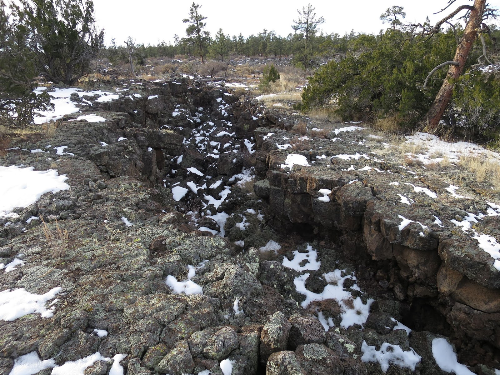
Marveling at the rock pile under Kachina Bridge caused by the 1992 rock fall.  Geology in action!
One site the rangers can tell you about.  Show your respect by staying outside of the fenced area and not damaging anything.
Because the rangers recommended not trying to get to the Owachomo Bridge due to ice, that part of the trail had to wait until next time.
A few more footprints make for an easier ascent from the canyon.
Kachina Bridge from above.
On the roadwalk back to the parking area, a short trail led to an overlook for Horsecollar Ruins, far below in an alcove near the bottom of the canyon.  Always fascinating to get a different perspective by hiking on the rim above the canyon you’ve been exploring.

Overall, Natural Bridges National Monument is a fascinating place for having three natural bridges so close together. The snow-covered sandstone and ice formations along the flowing creek were stunning. The paved roads and parking areas were all plowed, making it relatively accessible for this time of year.

For more information:

Be sure to stop at the excellent visitors center.  Before I set out, knowledgable rangers described the significance of the area and gave suggestions for routes through the snow.  They also provided hiking maps and informative handouts.

Natural Bridges National Monument

Sunday, January 24, 2016

CDT: Big Tubes to El Calderon

Section hiking the Continental Divide Trail (CDT), a weekend at a time. 
CDT in New Mexico
It seems like a good idea… except that much of the CDT is roadwalking. Do you really want to spend your weekend walking on the side of a road?
Setting out on a section hike of the CDT from Big Tubes, El Malpais National Monument, NM.
As a section hiker, I have mixed feelings about roadwalking. Pavement hurts the feet.  It’s hard to relax with cars wizing by. It’s just so easy to go somewhere with a nice singletrack trail or explore off-trail, off the beaten track instead.  Thru hikers have to walk a continuous path, but section hikers get to be choosey.

Why choose a roadwalk?
Why this?
In winter, county roads can provide easier hiking than going through deep snow.  Not having to concentrate on the ground means being free to look around.
Stepping off the road into deep snowbanks...before I retreat back to the road/CDT.
Watching the scenery, like this lava field.
On this roadwalk, Cr 42 alternates between ice and mud. Frigid wind cuts through my gloves, but keeps the mud frozen enough to glide over. Later in the day, this would be an exhausting slog. 
Frozen mud on Cr 42.
Drier ground under a ponderosa for lunch.
The CDT turns onto Hwy 53 as it crosses the continental divide.
I’ve driven by this volcano many times. But never noticed it’s beauty until I slowed to 3 mph.
I finally turn off the road and onto cairn-marked trail at the El Malpais Information Center.
Leaving behind a single track of footprints.
Besides a few cars along Hwy 53, all was quiet except for the howling wind and birds.  There were no human footprints until the CDT joined the interpretive loop the last mile before El Calderon.
Can you imagine what it was like just 115,000 years ago when this was a river of red hot molten lava?
While a roadwalk was an ususual choice, it felt satisfying to hike part of the CDT in January.  Experiencing this trail out of the usual season that thru hikers get to see it was like finding a hidden treasure. 
Nature.
At the begining of the new year, there is an explosion of online comments about hikers dreaming of long trails.  Like “I can’t wait until May.”  As they sit at home and work on gear lists. 

Why wait at home?  Get on the trail now.  Be a section hiker.

More Information:

Big Tubes area

El Calderon area

I got dropped off at Big Tubes junction CDT mile 490.5 by my awesome roommate.  No way was my little car getting down Cr 42 without getting horribly stuck in the mud and ice.  Thank you J.!

Followed Cr 42 Chain of Craters Backcountry Byway (not passible in snow/ mud without high clearance, 4WD and expert driving skills) to Hwy 53.  Picked up the single track again at El Malpais Information Center (closed in winter) to El Calderon.  Then followed the mountain lion detour (well marked with cairins and flagging to the NPS border where I’d stopped previously, CDT mile 503.2, then turned around and hiked back to my car at El Calderon. 

14.0 total miles (12.7 new CDT miles plus 1.3 bonus miles backtracking).

Tuesday, January 19, 2016

Sandstone Bluffs in El Malpais National Monument

Upon arriving at any new place, getting a lay of the land helps me get grounded.  I want to know the names of all the surrounding peaks and the shapes of the valleys.  As if this will help me find my way.
Looking out over the expanse of lava.
The gravel road to Sandstone Bluffs goes high above the lava flows, up to an overlook. While there are no maintained trails, social trails criss cross the area leading to natural arches and historic sites.  I took the guidebook’s suggestion to follow the rim northward for a couple of miles, then drop down and return along the base of the 500 foot cliffs. 
Looking out from the 200 million year old sandstone bluff across the 3000 year old lava beds.
Heading north along the top of the bluffs, with Mt. Taylor in the distance.
Footprints from other hikers are scarce this time of year.  Where the wandering paths social trails or animal trails?  Did it even matter?  
Leave what you find.
While I picked up a few pottery sherds to examine them, I was careful to nestle them back into the mud in the exact place I’d found them.  People settled in this area along the lava a thousand years ago.
Natural arches, hidden from view from above, can be found by scrambling through sandstone formations.
Sometimes, we don’t spend enough time just wandering where our curisity takes us.  Its easy to get trapped in the drive to “accomplish” miles or complete trails. Merely exploring doesn’t allow you to say how many miles you did.  But exploring gives you that feeling that is beyond quantification.

More information:

Sandstone Bluffs


As with most off-trail travel, don’t count on doing your usual miles per hour— backtracking and wandering to find a way through required extra time. 

To park for this hike, travel on NM 117 south of Grants, NM and turn right at the sign for the Sandstone Bluffs.  The 1.5 mile gravel road to the parking area is fairly well drained and mostly in full sun, therefore it was clear of snow and mud, and passible in a small car on a clear day.  Check at the ranger station for current conditions.

Monday, January 18, 2016

CDT: Towards El Calderon

My first week at a new winter seasonal position.  So many new things to learn, people to meet. Mixed feelings of uncertainty and self-doubt.  Change doesn't come easy.  Will I find my niche here?
Can this possibly be right? What am I doing out here?
But then I step foot out here on the Continental Divide Trail (CDT), all the anxiety is forgotten.

Setting foot on a national scenic trail always feels like coming home. Though this landscape is unfamiliar and the challenges of this trail are new— even this very newness and the constantly challenging terrain are themselves familiar. Here, I am grounded.
Familiar signs in an unfamiliar landscape.
I haven’t spent much time on the CDT— just a few miles in Glacier National Park. But I’ve done a lot of miles on the PCT, AT, and Arizona Trail.  There’s just something special about National Scenic Trails.  It’s the collective stories I have in my mind from reading previous hiker’s trail journals and blogs.  It is the familiar signage.  The comfort of having Guthook’s Guides on my iphone.  All this and… more.
The CDT continues north over snow-covered Mt. Taylor.
Imagining the connection with the countless people who have come before me.  Imagining the trail winding all the way to Glacier where I hiked all summer. I don’t feel so lost.
Ponderosa thriving here.
Here in El Malpais National Monument, in New Mexico, the CDT follows the 700 year old Zuni-Acoma Trail that connects the pueblos of Zuni and Acoma.  I try to imagine what it was like for the people who have been hiking this trail for hundreds of years.

Traveling over lava has given this place the name “the badlands.”  Navigation requires constant attention.  There is no easy footpath here among the lava formations.
Collapsed lava tubes
Cairins (some of which were build by the Ancestral Puebleoans) are constructed from lava rocks, with vertical stick in the center. The trailguide says not to go forward until you find the next cairn… which is nearly impossible because the next cairn seems to always lay hidden behind a tree or down in a ravine.  I can see why they say not to hike this alone.  It would be easy to get lost, and having another set of eyes would help.
Can you find the cairn?
Slowly, I develop a search image for the cairins, and gain confidence on the unstable lava rocks covered in snow.  Adapting to the trail---this too is something that I trust will always happen on the trail. 
Snow on the lava.
Finally, I find my way back to the trailhead.  New muscles are required for walking over such uneven surfaces, and legs and feet muscles scream with the exertion.  That too, makes me feel both at home and excited about a winter of hiking around here.

Information:
Parked at the paved Zuni-Acoma Trailhead off 53.  Follow the signs a mile south to the Encerrito Junction sign (Guthook’s Guide calls this CDT mile 507.3), then head west following the Contential Divide Trail towards the El Calderon Trailhead to mile 503.2.  And back.

El Malpais National Monument

Zuni-Acoma Trail

Sunday, January 3, 2016

Around the Organ Mountains

A week of dayhiking in the Organ Mountains east of Las Cruces, New Mexico while visiting family. 

Snow blanketed Las Cruces the day after Christmas.  That didn't stop us from exploring a variety of trails.

Sierra Vista Trail
This 29 mile National Recreation Trail stays low along the foothills of the Organ Mountains.  Several hikes took us along the northernmost part of the trail, from the Vado trailhead north to the Sierra Norte trailhead (off Dripping Springs Road).  While mainly for mountain bikers and horses, this trail offered the most solitude and easy terrain.
Right after the snow, the Sierra Vista Trail was the first we could access.
Fun hiking with my uncle and cousin.
A few days later, Pena Blanca at the southern end of the Organ Mountains, viewed from the Sierra Vista Trail.
Pine Tree Trail
We drove out to the Pine Tree Trail at Aguirre Springs campground the day after the gate opened back up after the snow.  This loop hike climbed around a bowl formed by Anvil and Sotol Creeks.  It was my favorite because of the ponderosa pines.
Starting out on the 4 mile loop of the Pine Tree Trail.
Dad broke trail on the 1000 foot climb into deeper snow.
Only animal tracks up here.
Ponderosa pine trees only grow on the north facing slopes at high elevation.
I can't believe how fast Dad still scrambles up the rocks (he's in his 70's!).
Views across the Tularosa Basin

Baylor Pass Trail
This 6 mile trail is the only developed trail that crosses the crest of the Organ Mountains from east to west.  The views might have been better on a clear day.
Baylor Pass
Bar Canyon
This 3 mile loop in the Soledad Canyon Day Use Area was Mom's favorite-- it was not as steep and went to a waterfall.

Dad climbing up the waterfall.
Overall, the Organ Mountains provided days of interesting hiking.  Over a week and we didn't even get to all defined trails, and there was plenty of off-trail areas for exploring that beckoned.

More information:

Stop by the visitor center at Dripping Springs.

Read Day Hikes and Nature Walks in the Las Cruces - El Paso Area by Greg Magee -this book has directions to all the trailhead, good descriptions, geology and natural history highlights, and topomaps

After hiking near Aguirre Springs, eat at the Moongate Cafe on the drive back to Las Cruces (north side of Hwy 70 west of the Brahman Rd exit).  Don't be fooled by the ugly exterior and old sign.  This is a perfect hiker place - inexpensive, unpretentious, delicious Mexican food with breakfast served all day.  (But only open til 3 PM.)