7/17/23 Day 9
Hopkins Lake to Canada (and back to Hopkins Lake)
Washington section of the Pacific Crest Trail
Jan
and I made it to Canada today. As of today, I have hiked the entire
PCT, some of it multiple times because of all my out-and-backs.
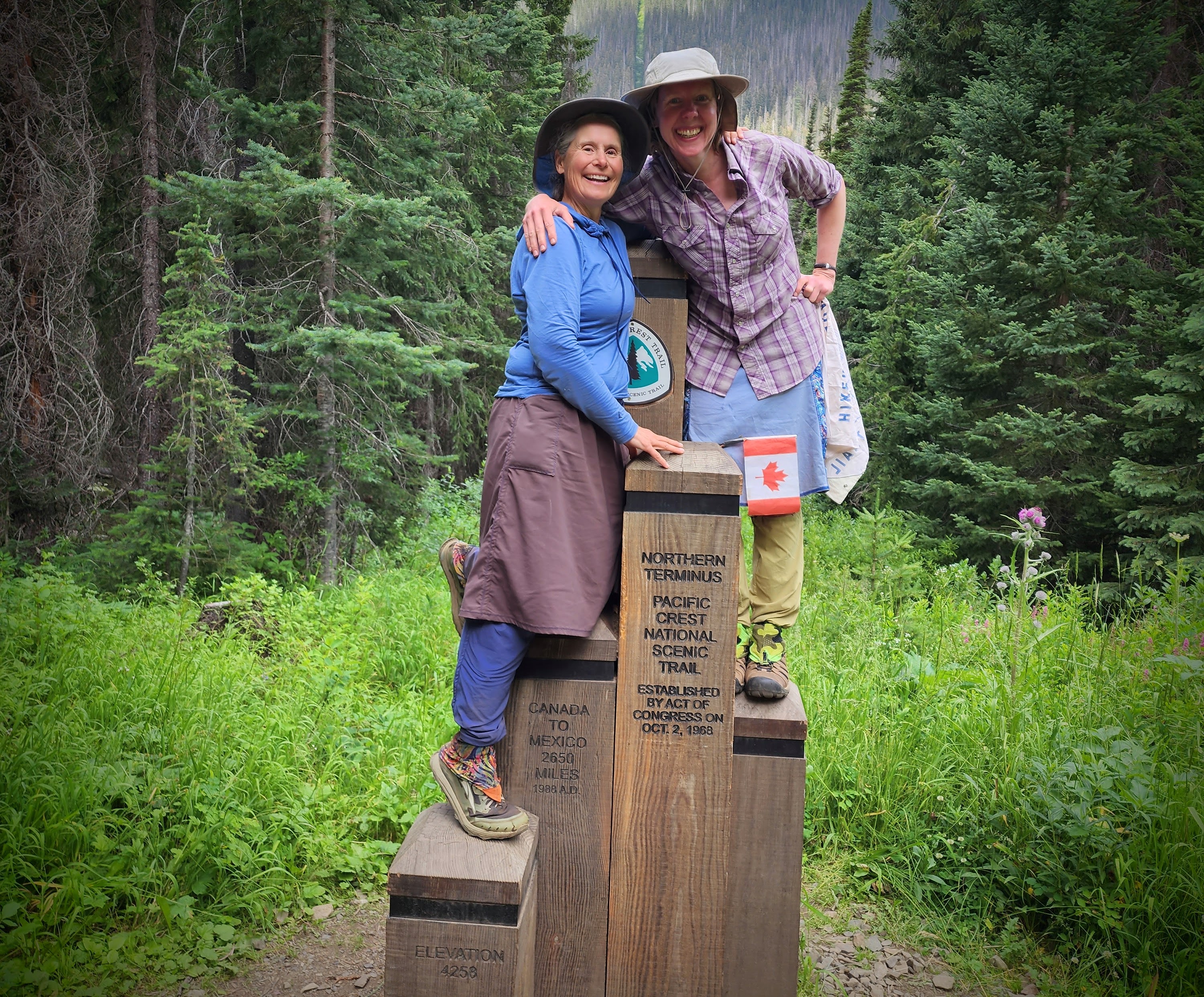
 |
Me at the border monument. PCO Jan
|
The
rain starts and is on again off again all morning. The scenery is
mostly for forest with views through the trees and sweet, kind PCT-grade
trail. It's good terrain for rain.
 |
Umbrella time!
|
The monument itself is
sort of like I'd expect from seeing other peoples' photos. But it also
feels surreal like being on a movie set or peaking behind the scenes of a
famous place. I know there will be the cut of trees, because that's the
classic backdrop I've seen in other peoples' finishing photos. But I
didn't expect the flowers or the rooty bare ground that so many have sat
upon.
 |
Jan and Joan.
|
When we arrive at the border monument, there is already a
couple from Maryland (snow-bos) who we’ve been leapfrogging with there. We chat with them and we do a photo shoot.
Jan
asks me how I’m feeling but I’m feeling so much it's hard to explain! First,
I'm happy. I mean, I did it! But there is also a feeling of disbelief.
I've still been thinking it might not happen. I also feel some sadness
at finishing. I love the PCT so much and its a part of this chapter of
my life. And now I wonder how I'm going to find something as good.
Certainly no trail can possibly be as kind, reliable, joyful, and gentle
as the PCT!
There is also freedom in knowing this chapter is
over. I know that no other trail will be
like this trail has been for me … because it has been a constant for the
past 10 summers. While I’ve done section hikes 5 of those summers, not
being on the PCT for the other 5 summers was still full of anticipating
and knowing I’d return. Now that this is over, anything is possible.
I am also overwhelmed with gratitude for
the many people that have helped me and showed incredible kindness, and
especially for the wisdom imparted along the way.
 |
| Holding my PCT Class of 2014 bandana. |
I think about how back in April 2014 when I started, I hadn't
even met Jan! And how we met in 2014 during my stress fracture and how we ended up being bestie hiking buddies. And now we’ve hiked so many miles together and been
through so much.
 |
Look at this! Jan surprises me with a tasty treat! WOW!
|
I send an inreach message to my parents. They've been incredibly supportive my whole life and I feel so
lucky to have them close to me! I also inreach Mags who truly understand how to integrate hiking and life.
A lot of people that have been important for my PCT hike, I've lost touch with over the years. But I send out my thoughts to them. I think about
those I've hiked many PCT miles with- Susan, MeToo, Arizona, and Coach. I think of Renee who helped me get
started with long-distance hiking, and with whom offered much support and PCT smiles. I think of Steph who helped me transform my stress fracture into a
success and got me back out to the trail and saw me through such a dark
time. I think of Still Waters who always believed in me. (Still Waters- if you
ever read this, I want you to know that I carried your note the whole
way and read it countless times and it gave me strength and wisdom to
get me through so much. Thank you for everything, Still Waters.)
I am also grateful to my right foot
especially for healing after the stress fracture, for turning my thru hike into a section hike,
which has given me almost a decade of the PCT woven into my life.
One the return trip, Jan and I have fun chatting. I return
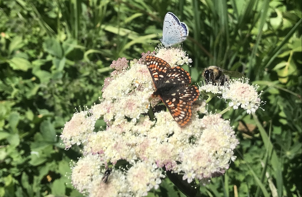
to inaturalizing and finally seeing the pika that we've been hearing out
frolicing.
 |
That's me frolicing too. PCO Jan
|
Evening winds increase and I have bad memories too
of many horribly windy PCT nights. So we climb away from the lake and
amazingly there is less wind here and I am pitched between trees that
are at the absolute limit of the length of my tarp. The temperature is
dropping fast but so far I am cozy and Jan found a good spot close by so
yay what a day!
 |
Hardly any wind up here away from the lake.
|
As I fall asleep, I have more thoughts about finishing. Before I started the PCT, I remember spending so
much time planning for the PCT and wondering how it would change me and
wondering what I'd learn. Now I know that I can absolutely do and
finish anything. I am persistant. And I can find all the joy in doing it
too. I
am also grateful that my PCT experience has been my own. That it was on
my own timeframe. That I hiked my own direction. That I hiked my own
way.