 |
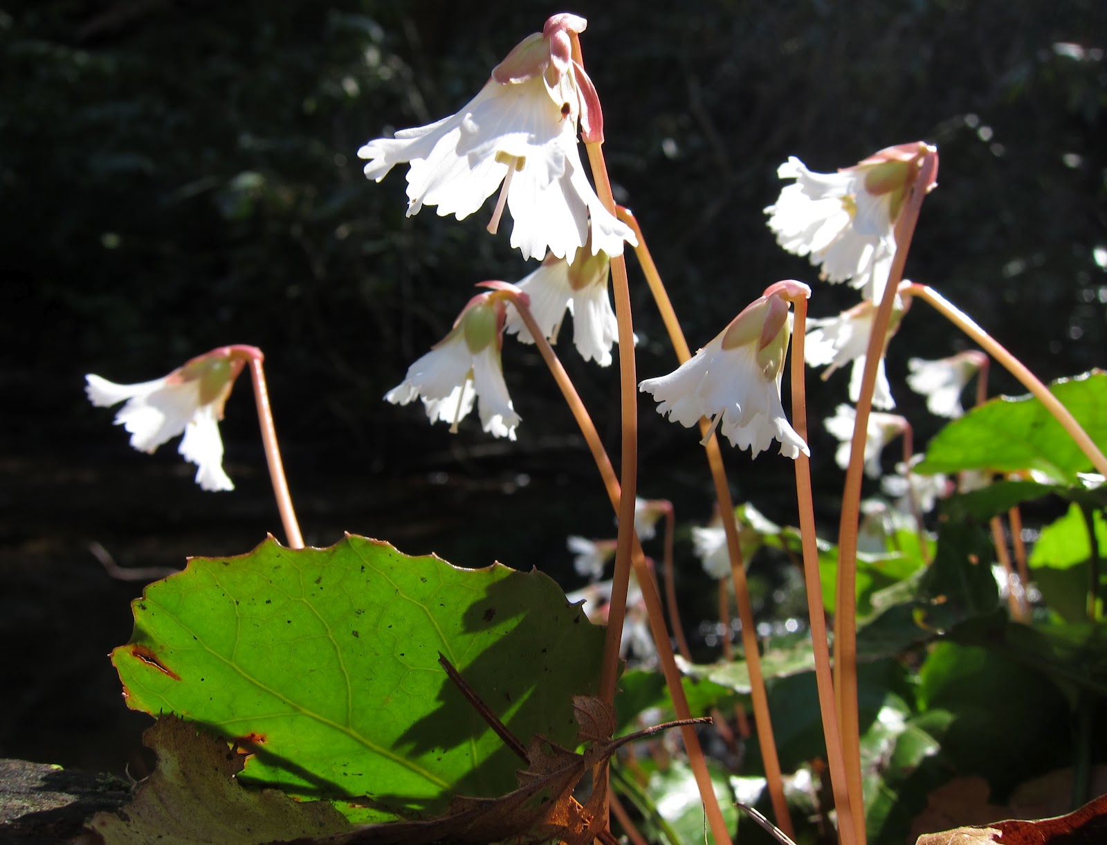
| Oconee Bells on the Foothills between Laurel Valley & the Horsepasture River. |
Resources for the Foothills Trail
Foothills Trail Conference- map and guidebook, downloads of the elevation profile and maps to trailheads.
Trip reports for the Foothills Trail
End-to-end (thru) hike (November 2014)
Table Rock to Laurel Valley (March 2012)
Highlights: views from Sassafras Mountain, highest point in South Carolina
Laurel Valley to Canebreak (March 2012)
Highlights: Virginia Hawkins Falls and Laurel Fork Falls, wildflowers
Bad Creek to Bearcamp Creek (Jan 2013) and onto Canebreak (March 2012)
Highlights: Hilliard Falls
Whitewater Falls to Hilliard Falls (Nov. 2013)
Burrells Ford to Whitewater Falls (Feb. 2012)
Lick Log Falls to Big Bend Trail (plus Winding Stair Trail) (Sept. 2013)
Oconee State Park to Burrells Ford (April 2011)
Foothills Trail Spur from Caesars Head to Sassafras (August 2013)
 |
| Trail Dames at the start of the Foothills Trail at Oconee State Park. |
Amazing! You have hit this trail in every season. My wife and I want to do about 1/2 the trail somewhere around 25-40 miles. We like in SC down in Charleston so we know how hot it can get in this state. What time of year did you most enjoy the trail? September is what will work best for us, but I think it will be to warm. I think October will be much better. What are your thoughts?
ReplyDelete