The Bartram Trail in North Carolina between "The Bus" by Doubletop Fields and Osage Mountain Overlook is my new favorite trail section. The high elevation and ridge with cool breezes provided an ideal summer escape. I even felt cold enough (in JULY!) in the evening that I hiked wearing my poncho-- I kid you not. Sheer rockfaces and mountain peaks provided spectacular views. To top it off, there were abundant blueberries-- life just doesn't get any better!
 |
| Filling my belly with blueberries on top of Scaly Mountain |
I parked at Osage Mountain Overlook, got shuttled to Jones Gap parking area, and started out northbound on the well-marked Bartram Trail in occasional rain. After hiking north for 5.5 miles, "The Bus" (old rusted out schoolbus) provided an interesting turn-around point before heading back to Jones Gap, and then continuing on to Osage Overlook.
 |
| "The Bus" near Doubletop Fields |
On the way back, there was time to explore side trails, including the stunning Whiterock Mountain Summit (0.5 round trip).
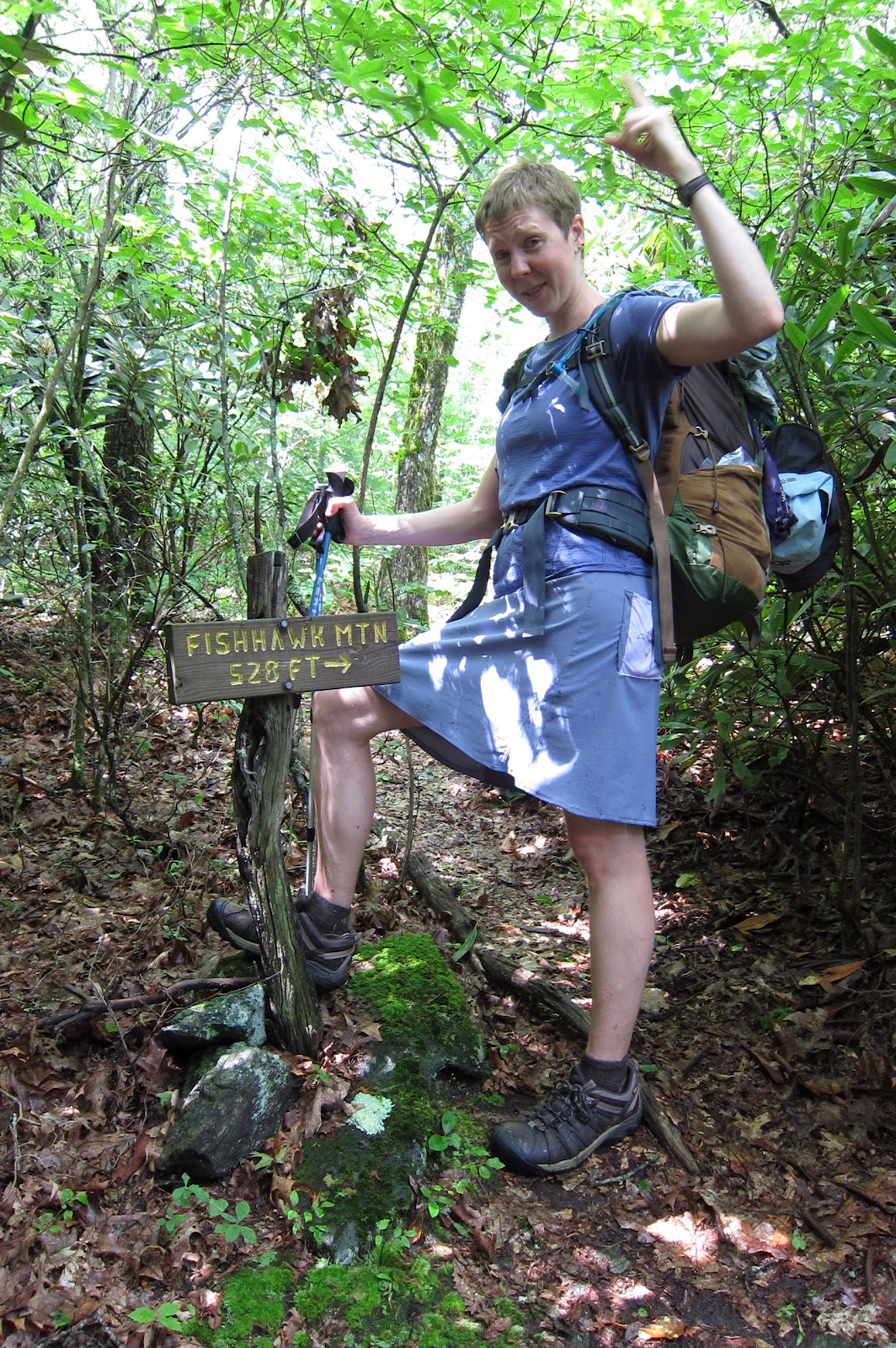
 |
| 528 feet strait uphill |
|
|
|
Most signs along the Bartram Trail gave distances to overlooks in miles (i.e. "0.3 miles"). The sign at the side trail to Fishhawk Mountain says "528 feet." I didn't realize they meant vertical feet, not horizontal, to the rocky outcrop summit (4748 ft) with no view. Judging from moss in the trail, few others make the journey. Though pretty much the entire section looked like it sees few visitors- I only saw two dayhikers, and one guy at the trailhead.
The steep technical footing, slippery terrain left me exhausted by the time I reached Tessentee Creek Camp. I quickly fell asleep in my hammock to the rushing of the water.
 |
| Tessentee Creek and blooming rhododendrons |
The next morning was only 4.4 miles to Osage Mtn. Overlook, but climbed over 1000 feet up and over Scaly Mountain (4804 feet). I lingered along this stunningly beautiful section of trail, picking wild blueberries, checking out the plants, and soaking in the extensive views.
Descending Scaly Mountain, small streams cascaded down the trail in some spots over exposed bedrock, creating deep water in some parts, and very slippery trail in others. I splashed on through the water right down the middle of the trail to avoid trampling the banks, which would eventually widen the trail and kill sensitive plants.
 |
| Puddle jumping along the trail. |
For trail info:
http://www.trailquest.net/BRbartram.html


I was about to ask about the amount of traffic on the trail when I saw the last sentences. I've always wondered how visited some of these trails are you go on. We have the Lone Star Trail within an hour of our house and some sections are visited much and others not so much.
ReplyDeleteThere is quite a lot of variation in how visited the different trails around here are too. I'm always so surprised how I never see any other people on some of the most beautiful trails. And it was especially odd seeing no one on the Fourth of July weekend!
ReplyDeleteAccessed trail in Otto,nc at buckeye Creek for a 4mi out 4 mi back Day hike
ReplyDeletePI was pretty prominent featured plant. Great trail, bus was odd and a nasty hornet nest, 30 yards south of bus in the trail. Forced us to wade thru knee high PI on return hike. So it goes.. lovely section of trail. No signs of other hikers or much usage at all. Birds heard: Canada warblers, black throated blues, whited video and blue headed video. Junco and wood thrush too. One small over look across valley to the south.