Labor Day weekend on the Foothills side trails continues... (see here for Part 1)
After a restful night on Sassafras Mountain (highest point in South Carolina), my friend Still Waters and I drove over to the
Frozen Creek Access Area to begin the second part of the trip- an 18 mile loop through Gorges State Park in North Carolina on the Auger Hole, Foothills, and Canebreak Trails.
I was both suspicious and thrilled that the trailhead was deserted when we arrived. There had to be a good reason for that on a holiday weekend and I figured we'd soon find out.
 |
| Auger Hole Trail. |
The 7.3 mile Auger Hole Trail wasn't the prettiest
trail. Wide doubletrack, thick spiderwebs, biting gnats. It took effort to find beauty. Brilliant green tiger beetles scampered up the trail.
Sometimes, you just have to settle for the little things.
 |
| Brief break from the heat at the crossing of the Toxaway River on the Auger Hole Trail. |
When the trail opened up into a hot powerline cut, there was especially slippery loose gravel and rock. Ugh.
 |
| I'm usually sure-footed, but I fell going down this steep part. |
I was overjoyed to finally reach the soft surface of the Foothils Trail and step back into verdant forest. While the Oconee Bells weren't blooming like when I'd backpacked this section
last March, their lush evergreen leaves glistened along the banks of small babbling streams. At first glance, they might look like galax, but you can tell they are actually the
rare Oconee Bells by the leaf
venation patterns. All thoughts of the previous section of tough trail were overshadowed by the botanical splendor. A selective memory does wonders for ones general happiness.
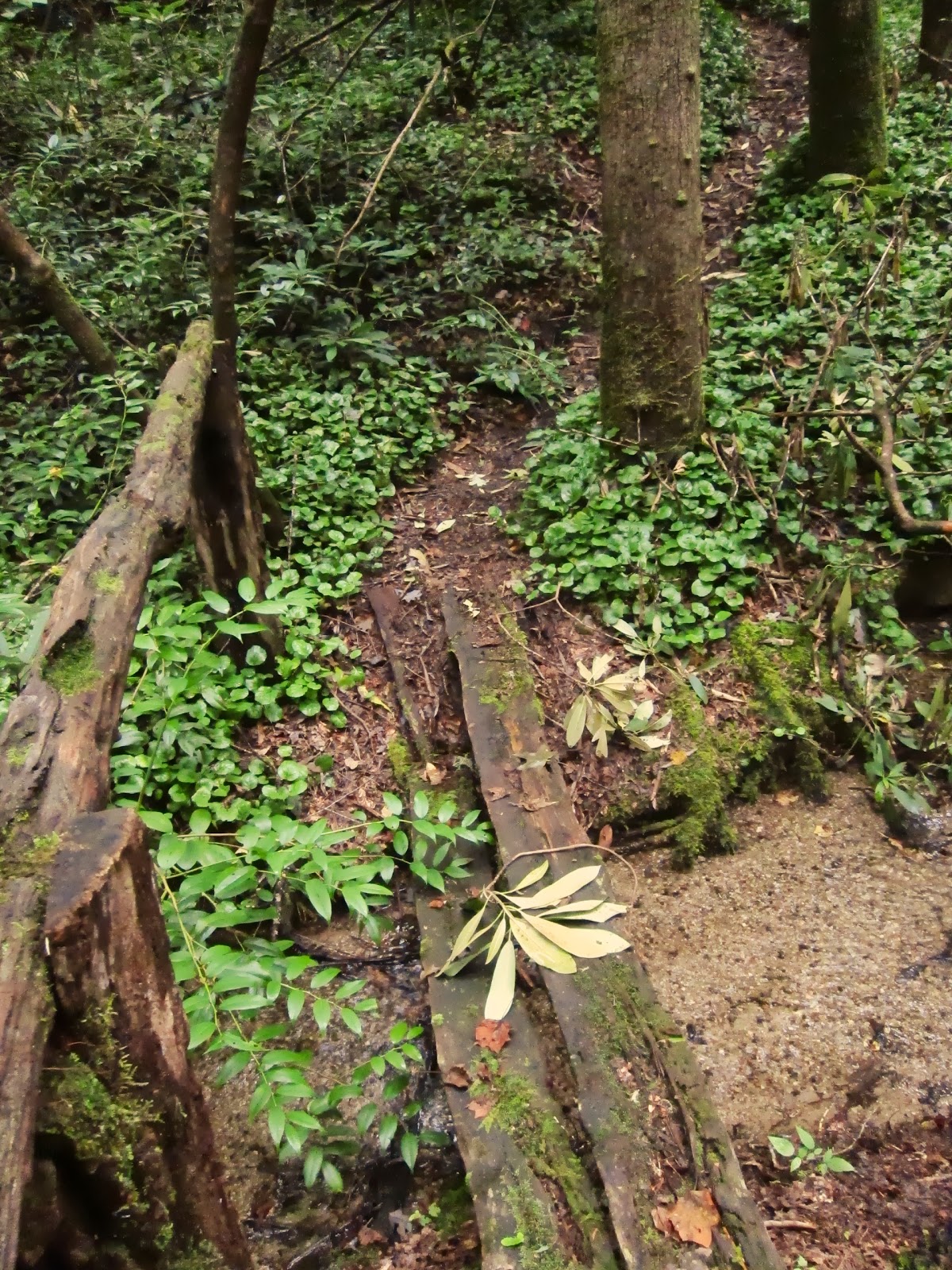 |
| Bridge over small stream on the Foothills Trail. |
After 13 miles of solitude, I was pissed off when I heard motorboats and loud voices as I descended to the banks of Lake Jocassee. I lightened up a bit when I saw kids frolicking in the shoals where the Toxaway River empties into the lake. I was even more pleased when they all took off in their boats in the evening as the thunderstorms rolled through, leaving us in peace.
 |
| Morning light at the Toxaway River flowing into Lake Jocassee. |
Next morning, it was five miles up the Canebreak Trail. I honestly can't think of an uglier trail.
 |
| The initial steep ascent up the Canebreak Trail, which follows more old roads. |
 |
| Loose gravel make for tough walking on tired feet. |
In an ideal world, there'd be more places that offered both solitude and scenic splendor. But as it is, there is a tradeoff- in this case (ugly) trails provided solitude. We encountered no other backpackers all weekend, though there were a few folks out for the day within a mile of the trailheads. For a holiday weekend, it was worthwhile to put up with the trails over old roads to have some quiet and stay off the beaten track. Plus, these trails led to places that were spectacular, despite being crowded with daytrippers that accessed them with their cars (on Sassafras Mtn) and motorboats (at Lake Jocassee). It worked out well to have some of the best of both worlds.
 |
| The only other footprints on these trails were made my turkeys. |
For more information on this loop:
Backpacker Magazine
article.
Meanderthals Trip Report
here.
Those trails don't look too ugly! I can see the gravel being a pain though. I've walked on converted rail-to-trail areas with that stuff and it is not comfortable.
ReplyDeleteNice report.. I often pick somewhat ugly trails for the solitude. Rainy days are good for solitude too.
ReplyDeleteThe gravel really made it frustrating. I was so disappointed since it was a state park and I had such expectations. And yes, Mossy Mom, it was worth it for the solitude.
ReplyDelete